0
Ten facts about Manipur
Manipur is a state in Northeast India, with the city of Imphal as its capital. It is bound by Nagaland to the north, Mizoram to the south, and Assam to the west; Burma (Myanmar) lies to its east
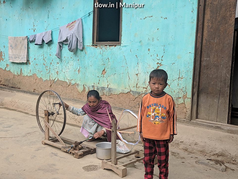
- The state covers an area of 22,327 square kilometres and has a population of almost three million, including the Meitei, who are the majority group in the state, Loi, Yaithibi, Kuki and Naga peoples, who speak a variety of Sino-Tibetan languages. Manipur has been at the crossroads of the Asian economic and cultural exchange for more than 2,500 years. It has long connected the Indian subcontinent to Southeast Asia, enabling migration of people, cultures and religions.
- Manipur has primarily an agrarian economy, with significant hydroelectric power generation potential. It is connected to other areas by daily flights through Imphal airport, the second-largest in northeastern India. Manipur is home to many sports, the origin of Manipuri dance, and is credited with introducing polo to the Europeans.
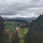
- The state lies at a latitude of 23°83’N – 25°68’N and a longitude of 93°03’E – 94°78’E. The total area covered by the state is 22,347 square kilometres. The capital lies in an oval-shaped valley of approximately 700 square miles surrounded by blue mountains and is at an elevation of 790 metres above sea-level. The slope of the valley is from north to south. The mountain ranges create a moderated climate, preventing the cold winds from the north from reaching the valley and barring cyclonic storms originating from the Bay of Bengal.
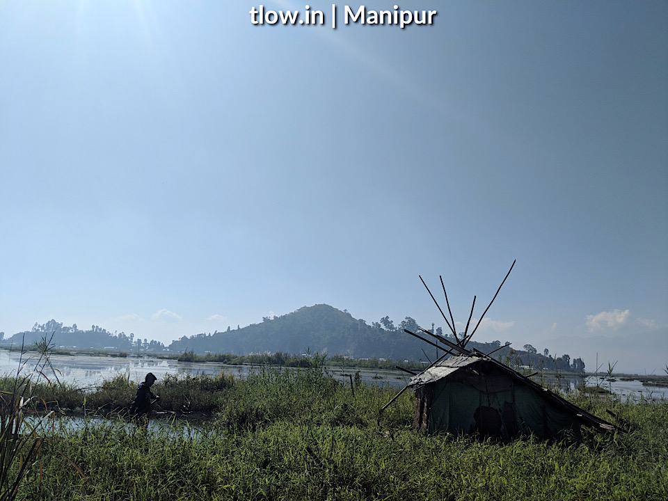
- The state has four major river basins: the Barak River Basin (Barak Valley) to the west, the Manipur River Basin in central Manipur, the Yu River Basin in the east, and a portion of the Lanye River Basin in the north. The water resources of Barak and Manipur river basins are about 1.8487 Mham. The overall water balance of the state amounts to 0.7236 Mham in the annual water budget.
- Natural vegetation occupies an area of about 14,365 square kilometres (5,546 sq mi), nearly 64 per cent of the total geographical area of the state and consists of short and tall grasses, reeds and bamboos, and trees. Broadly, there are four types of forests: Tropical Semi-evergreen, Dry Temperate Forest, Sub -Tropical Pine, and Tropical Moist Deciduous. There are forests of teak, pine, oak, uningthou, leihao, bamboo, and cane. Rubber, tea, coffee, orange, and cardamom are grown in hill areas. Rice, a staple food for Manipuris, and other cash crops make up the main vegetation cover in the valley.
- The climate of Manipur is largely influenced by the topography of this hilly region. Lying 790 metres above sea-level, Manipur is wedged among hills on all sides. This northeastern corner of India enjoys a generally amiable climate, though the winters can be chilly. The maximum temperature in the summer months is 32 °C (90 °F). In winter, the temperature often falls below 0 °C (32 °F), bringing frost. Snow sometimes falls in hilly regions due to the western disturbance. The coldest month is January, and the warmest July.
- About 41.39% of Manipuri people are Hindus. Hinduism is mostly professed by Meitei people, who are the majority in the state. However, a large minority of Meitei people practices Sanamahism (traditional Meitei religion) and Christianity. Vaishnavism school of Hinduism became a dominant force in Manipur in the eighteenth century when the King Garib Niwas (1708–48), declared it as the official state religion. This was the Vaishnavism of Chaitanya Mahaprabhu, the Bhakti preacher of Bengal, which stressed Krishna Bhakti. The Hindu population is heavily concentrated in the Manipur valley among the Meitei people. The districts of Bishnupur, Thoubal, Imphal East and Imphal West are all Hindu majorities averaging 67.62% (range 62.27–74.81%) according to the 2011 census data.
- Imphal International Airport is situated in the capital which connects direct flights from Imphal to Kolkata, Guwahati, New Delhi and Agartala And there is a new terminal is purposed to build.
Manipur Roadways
is connected to all its neighbour states by the National Highways.
Rail
The construction of the railway line is going on to connect Manipur to its neighbour states as well as it’s cities and it is expected to start working in 2018. Currently, Manipur has one railway station, Jiribam.
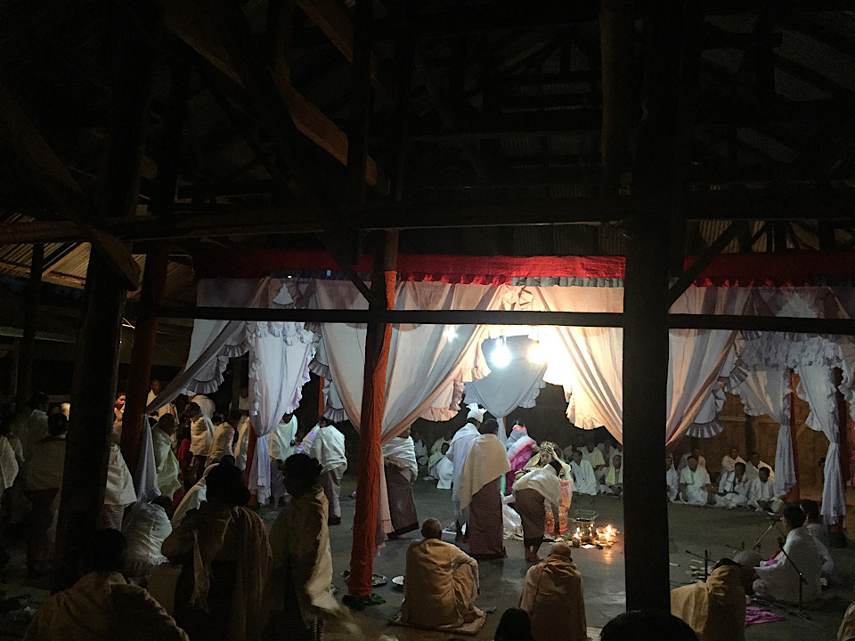
- The festivals of Manipur are Lui-Ngai-ni Ningol Chakouba, Yaoshang, Gan-Ngai, Chumpha, Cheiraoba, Kang and Heikru Hidongba, as well as the broader religious festivals Eid-Ul-Fitr, Eid-Ul-Adha and Christmas. Most of these festivals are celebrated on the basis of the lunar calendar. Almost every festival celebrated in other states of India is observed here, and it makes Manipur a mini-metropolis.
–>For a similar experience, >>Click here