0
7 Fun facts about Zoji La Pass
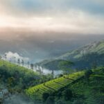
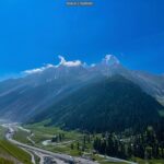
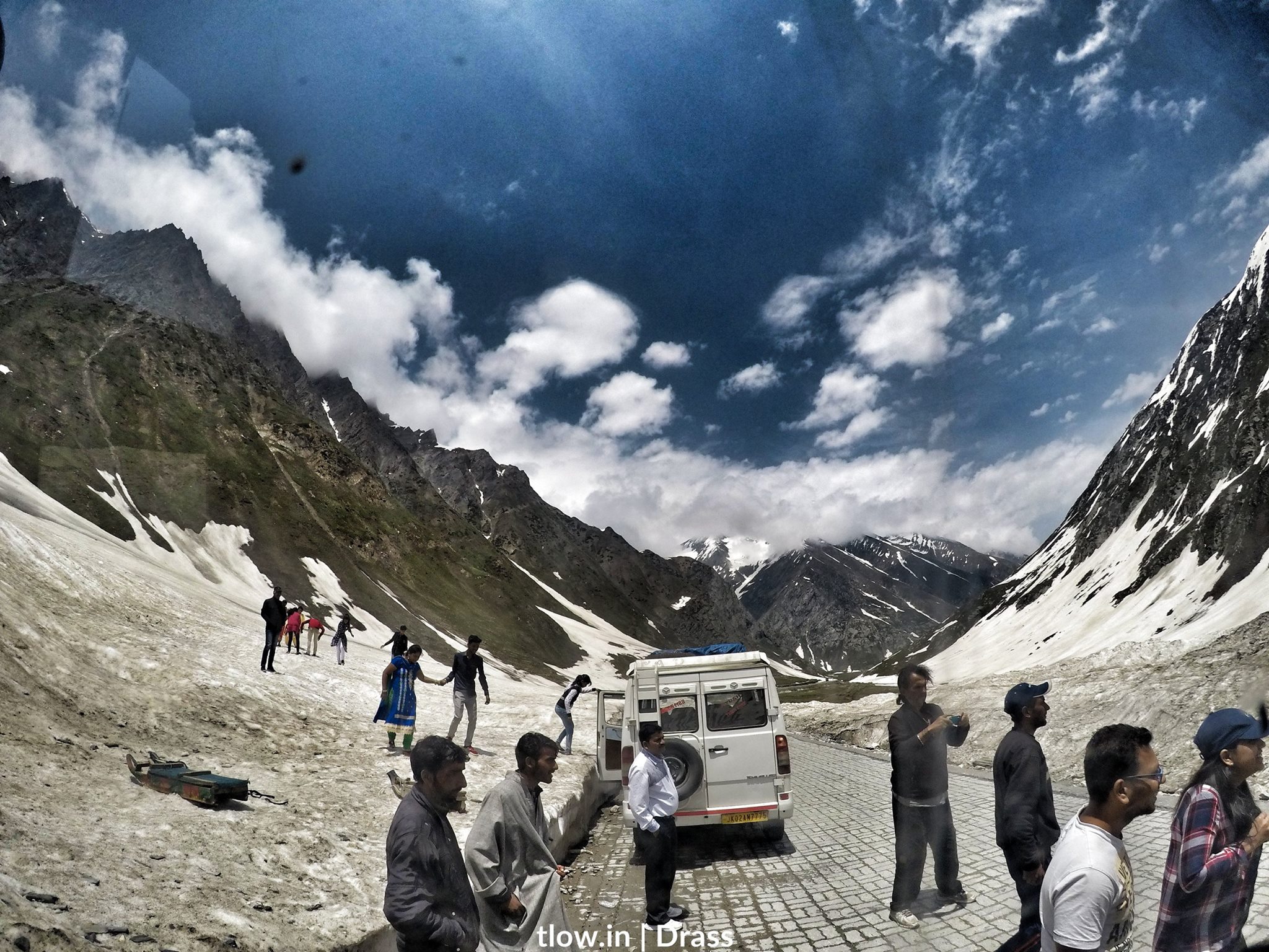
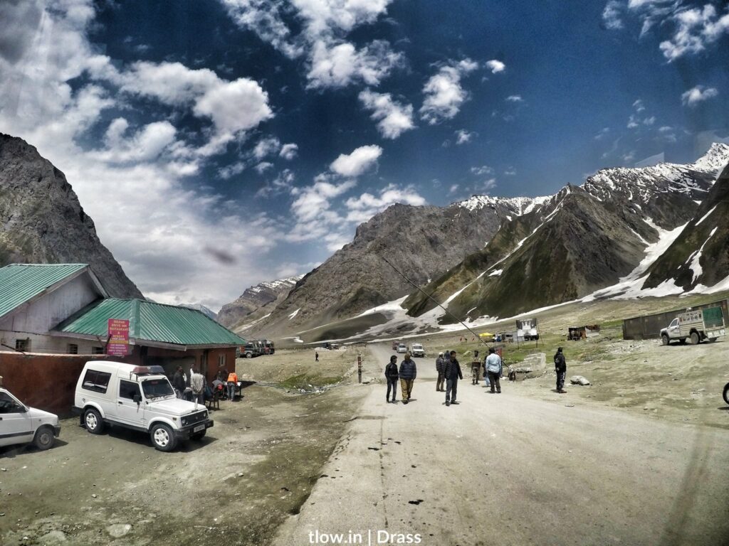
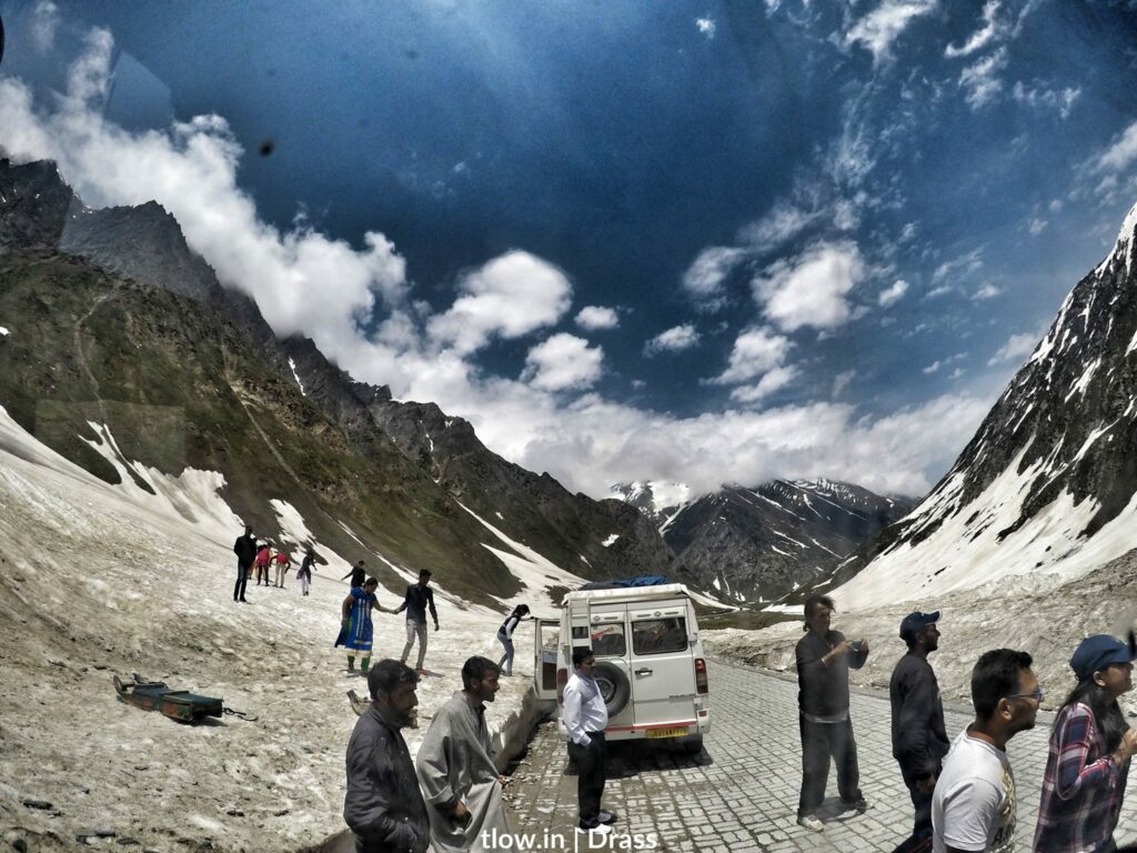
- Zoji La is a high mountain pass in the Indian state of Jammu and Kashmir, located on National Highway 1 between Srinagar and Leh in the western section of the Himalayan mountain range.
- It separates Kashmir Valley to its west from Dras Valley to its northeast.
- “Zojila Pass” is a misnomer and the suffix “Pass” is redundant because the word “La” itself means a mountain pass in Tibetan, Ladakhi and several Himalayan languages. Other examples are Nathula on the Sikkim-Tibet border, Baralacha La on the Leh-Manali Highway, Khardung La, Fotu La, Namika La and Pensi La, to name a few.
- The Zoji La tunnel project was approved by the government of India in January 2018 and the commencement of its construction was inaugurated in May 2018. The 14 km long tunnel will reduce the time to cross the Zojila Pass from more than 3 hours to just 15 minutes. The initial cost of the tunnel is 930 million US dollars. It will be the longest bi-directional tunnel in Asia when completed.
Zoji La
- During the Indo-Pakistani War of 1947, Zoji La was seized by Pakistani supported invaders in 1948 in their campaign to capture Ladakh. The pass was re-captured by Indian forces on 1 November in an assault code named Operation Bison, which achieved success primarily due to the surprise use of tanks. It was then the highest altitude at which tanks had operated in combat in the world.
- Zoji La is about 100 km from Srinagar, the state capital, and 15 km from Sonmarg. It provides a vital link between Ladakh and Kashmir Valley. It runs at an elevation of approximately 3,528 metres (11,575 ft), and is the second-highest pass after Fotu La on the Srinagar-Leh National Highway.
- Every year due to heavy snowfall, vehicle flow stops during winter. In 2017, the pass was closed on 11 December 2017 and the summer snow clearance operation was started on 21 February 2018 by Project Beacon and Project Vijayak. The pass was officially reopened for traffic on 6 April 2018.
For a similar experience >>Click Here
