0
10 Fun facts about Manali-Leh highway
#1.The Leh–Manali Highway is a 490 km (300 m) long highway in northernmost India connecting Leh in Ladakh in Jammu and Kashmir state and Manali in Himachal Pradesh state.
#2.It is open for only about four and a half months in a year in summer between May or June, when the snow is cleared. It closes again in mid-October when snowfall again blocks the high passes. 

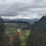
#3.It connects Manali valley to Lahaul and Spiti valleys and Zanskar valley in Ladakh.
#4.Leh–Manali Highway was designed and built and is maintained entirely by the Border Roads Organisation (BRO) of the Indian army. It is capable of supporting the heaviest of army vehicles. 

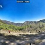
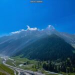
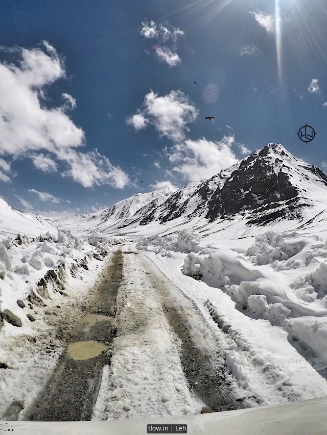
#5.The average elevation of Leh-Manali highway is more than 4,000 m (13,000 feet) and its highest elevation is 5,328 m (17,480 ft) at Tanglang La mountain pass. It is flanked by mountain ranges on both sides featuring some stunning sand and rock natural formations.
#6.The highway crosses many small streams of ice-cold water from snow-capped mountains and glacial melts without a bridge and it requires driving skill to negotiate fast-flowing streams. The landscape changes immediately after getting past Rohtang Pass and entering into Chandra river valley in Lahaul region that lies in rain-shadow. The greenery on the southern side of the mountain pass disappears and the mountain slopes on the leeward side become brown and arid. However, the mountain peaks are covered in snow and shine brightly in sun.

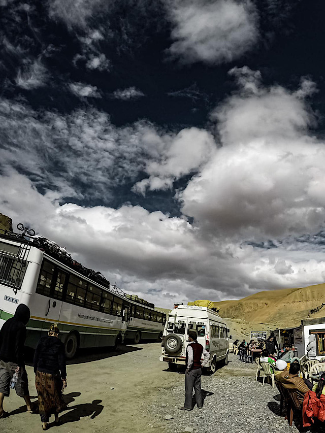
#7.Leh-Manali highway is generally two lanes wide (one lane in either direction) without a road-divider but has only one or one and a half lanes at some stretches. It has over a dozen bailey bridges and most of them are in dilapidated condition. The highway has many damaged stretches and under-maintenance portions where even a little rainfall can trigger landslide making it very dangerous to cross that stretch of the road. The riding quality is not good at many places and fast speeds can cause discomfort.
#8.The total length of the highway is about 490 km (300 mi). The distance in Himachal Pradesh state between Manali and Sarchu is 230 km (140 mi)[2] and the distance in Ladakh region from Sarchu to Leh is 260 km (160 mi). The length in Himachal Pradesh state will reduce by about 60 km (37 mi) when Rohtang Tunnel is commissioned in 2019 obviating the need to climb to Rohtang Pass. 

#9.At Sarchu, Lahaul region ends at the Himachal Pradesh state border and Zanskar region starts in Ladakh region of Jammu and Kashmir state.
#10.Manali to Leh Highway route is Manali – Rohtang Jot – Gramphu – Kokhsar – Tandi – Keylong – Jispa – Darcha – Zingzingbar – Baralacha La – Bharatpur – Sarchu (state border) – Gata Loops – Nakee La – Lachulung La – Pang – More Plains – Tanglang La – Gya – Upshi – Karu – Leh.
–>For a similar experience, >>Click here