0
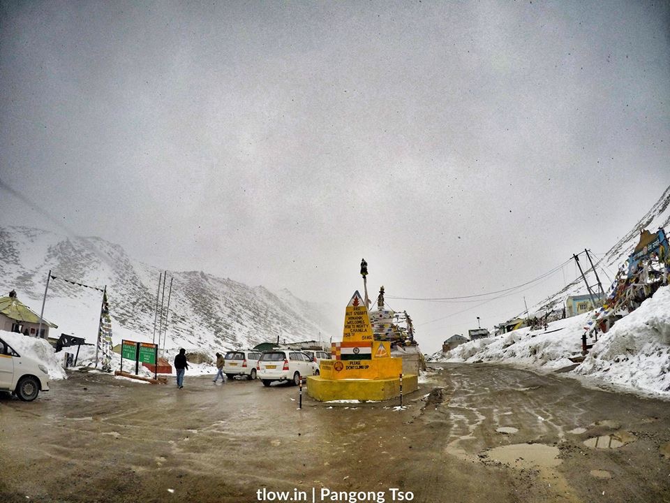
7 Fun facts about Changla, Ladakh
- Chang La is a high mountain pass in Ladakh, India. It is claimed to be the second-highest motorable road in the world.
- The road is approached from Leh via Kharu and Sekti village. The climb is very steep and requires a careful drive. The stretch of 10-15 km road on either side from Chang la is loose dirt and slush.
- During the summer months specifically the tourist season, small streams appear across the road, making the climb a challenge for the bikers.
- The descent from ChangLa towards Tangtse or Darbuk is again very steep. As per the medics, it is advisable to not stay at the top for more than 20-25 mins as it could be detrimental to health owing to its high altitude.
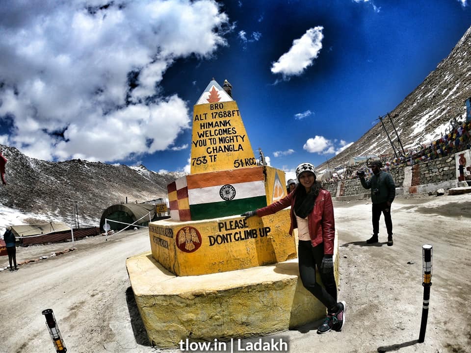
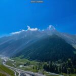
ChangLa
is on the way to Pangong Lake from Leh. The name literally means “Pass towards the South” or “Pass in the South” (Chang = south, La = Pass). The small town of Tangste is the nearest settlement.
The Changla Pass is the main gateway for the Changthang Plateau situated in the Himalayas. The nomadic tribes of the region are collectively known as the Changpa or Chang-pa.
The world’s highest research station, established by the Defence Research and Development Organisation is functional in Chang La at a height of 17,664 ft.
–>For a similar experience, >>Click here